Health and Environment
Why the City's Flood Maps Got It Wrong
Ali Winston |
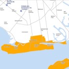
The city’s evacuation zone maps used 2003 data. Some federal maps may have predicted a wider area of flooding. But scientists also made Sandy storm-surge predictions that were dwarfed when the tropical system rolled in.


